


Basically just a quick proof of concept to try out this new method of creating larger maps.
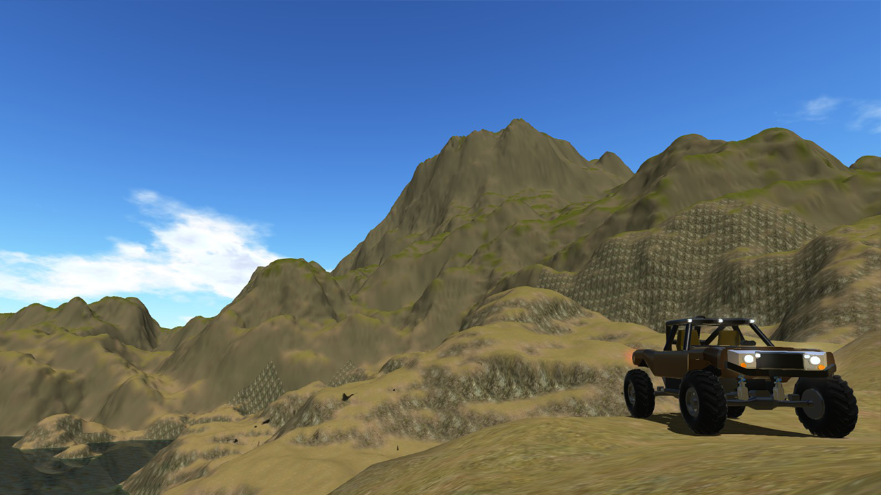
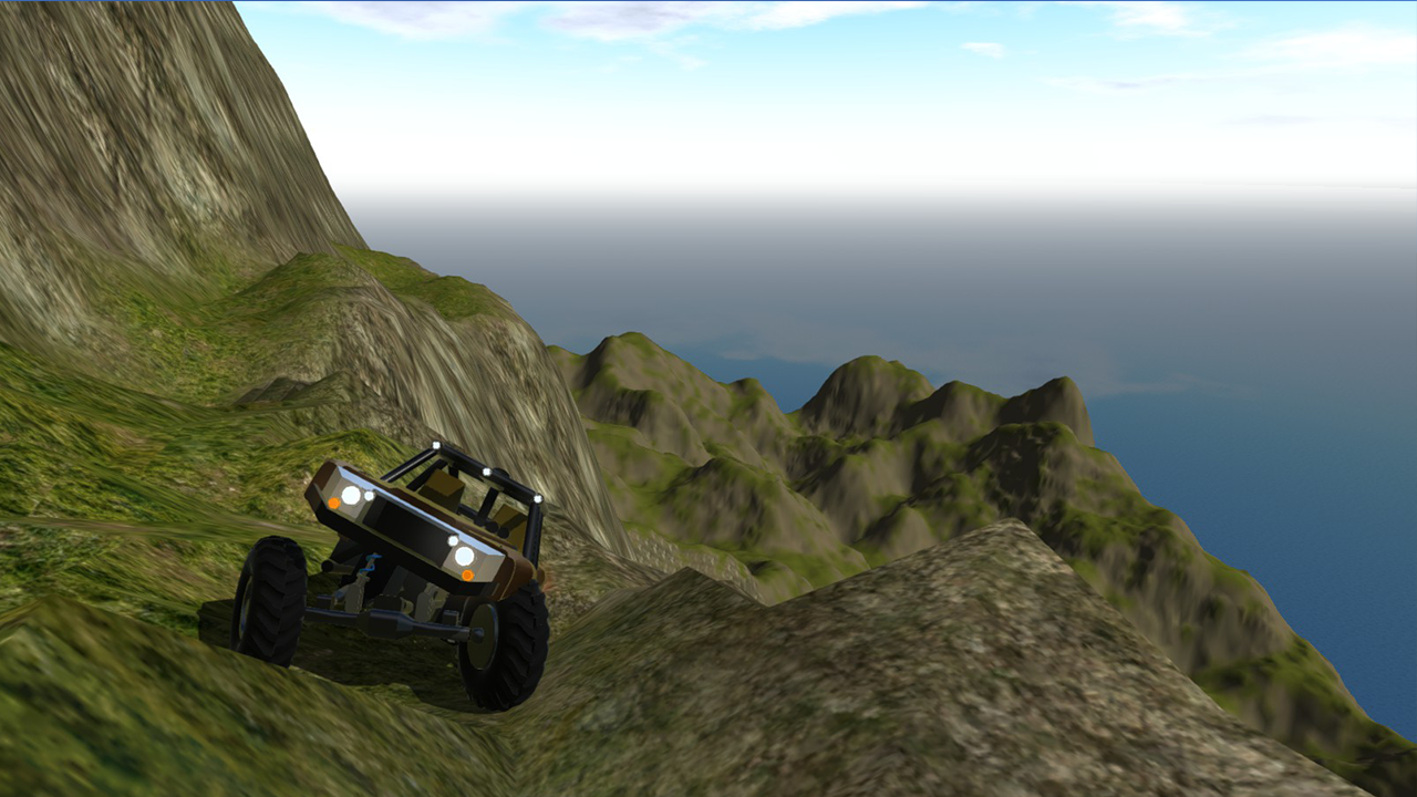
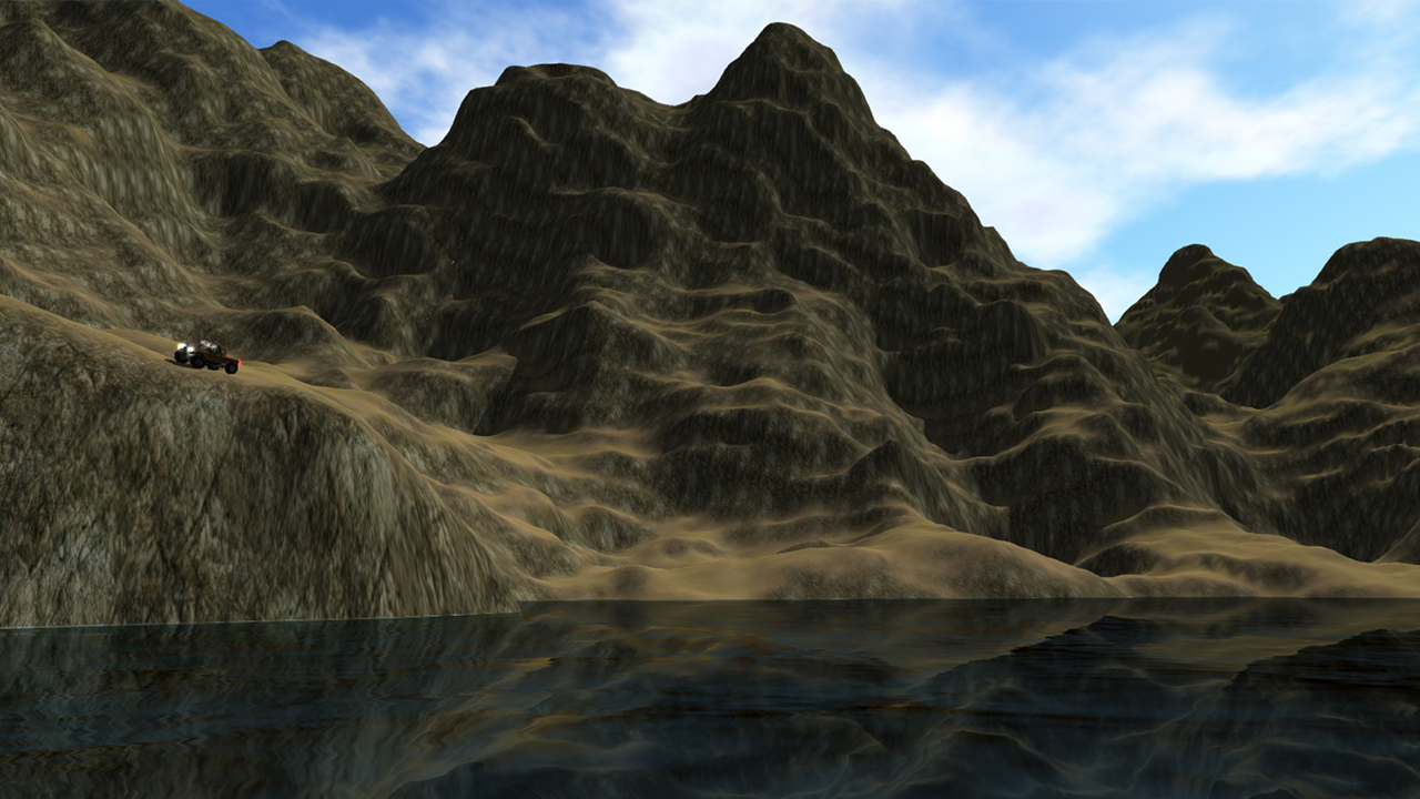
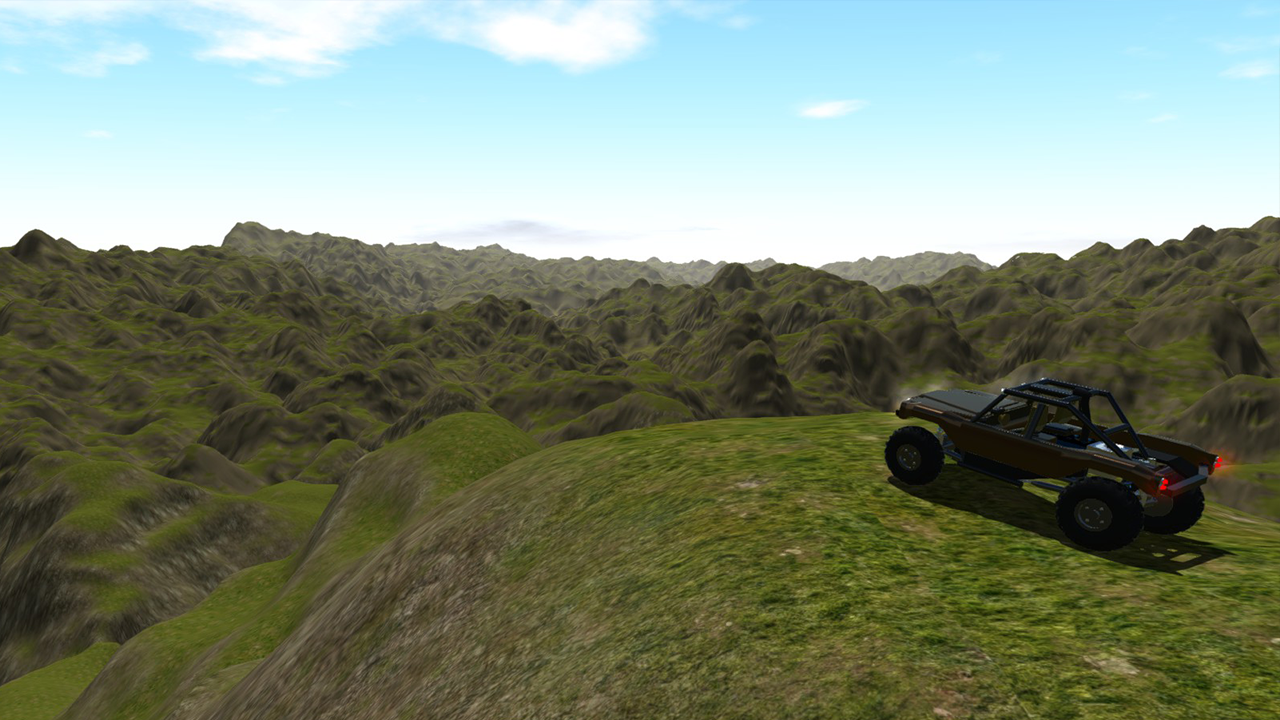
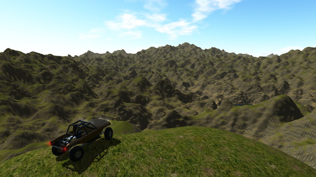
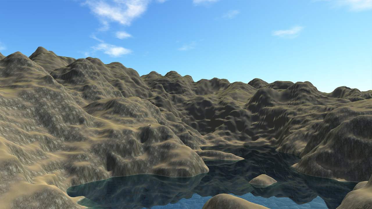
This map uses 2x2 heightmaps/terrains @8KM scale and 4097px resolution. So 16KM x 16KM overall with the same detail of my other 4KM maps. It also has 1800 meters of vertical scale. Much more than my previous maps.
I just recently upgraded some software that will allow me to more easily make larger maps. However I still need to streamline the workflow to make it a little more feasible. Currently when I make the largest size possible from one render there are 1024 heightmap files I need to convert to .RAW manually and place in the world. This size map is 32x32 HMs at 4097 resolution as opposed to my usual 2049. So if I scale them at 4km each (same and detail as FR-3) it would work out to be 128km x 128km of nice detailed terrain. Or I could even scale them to 8KM each and have the detail of FR-2 and be 256KM x 256KM.
Beta V 0.11 (10:45 PM EST 10/23/16)
*Keep an eye out for updates here*
V 0.11 Changes:
* Diversified vertical scale of the map (more low areas) Mostly in the SW region of the map.
* Added a few trails leading up the big mountain. They start at the particle effect marker. Some spots are not well defined...you will need to choose your own route.
Yes @Chancey21
Very new comment
Oh ok. @ian8811946
@jamesPLANESii plugin for unity.
Is that an another app or something? @ian8811946
@jamesPLANESii For the one road on ISC TG1 I used Easy Roads 3D Pro.
On the subject, how did you make the roads? @ian8811946
@jamesPLANESii Mostly on the rock trail - ISC Testing Grounds. But honestly im getting kind of burnt out on SP.
What are you working on at the moment?
Cool! @ian8811946
@jamesPLANESii once I get the full size map working ingame there will be a lot more diversity. I could do some small airstrips too.
The runway could even be this shape!
Like this kind of stuff.
I suggest with your next map like this maybe putting some flat areas so the whole map is easily accessible, and not just by road. Maybe making the valleys smoother. Because when the whole map is just insanely rough terrain, it gets a little boring. Also maybe adding a top dressing air strip on the top of a mountain. It doesn't necessarily need to be flat, or level. Just a cool place where STOL planes can take off. That would be good.
@fordzilla Dont see how it could. There is nothing different on this map from any others of mine except the size.
Welp, it broke my game. Cant open it anymore
Do other people get the black artifacts poping up on the terrain texture? Anyone know what causes it/how to fix it?
@ian8811946 oh ok. Cool!
@Mod V0.11 update has lots more difference in vertical range. Mostly in the SW corner. Some trails too.
@Cadin Using L3DT for the most part. Editing in Unity. Noise bush plugin will allow using a larger brush btw.
@ian8811946 For some reason I just saw this! Nice Jorb! What did you use to build the heightmap? And how are you randomly generating your landmasses?
@GT3TobyRS ISC is just a tag I use for my creations....and the map names are just acronyms because they are just quick randomly generated content that I do a lot of. I see no need for a new, unique name every time. Keeps the content fresh for me as well as others. When I make maps with hand drawn trails all over I know every inch of them....not the case when I can generate them and get nice results. I can still explore.
@Tully2001 the only time the saving process was overly long or would freeze was when I had the automatic light enabled (it is by default). In unity, go to windows - lighting then make sure the "auto" box next to build (at bottom) is unchecked.
@Mod yeah I need to find an addon for a larger terrain brush on unity. I was going to break it up a bit but with such a small brush it would distort the terrain more than I liked. Unless I spent a ton of time on it.
Nice! Love it, I'm gonna use this all the time. btw what does ISC stand for, and why do these have acronym names?