
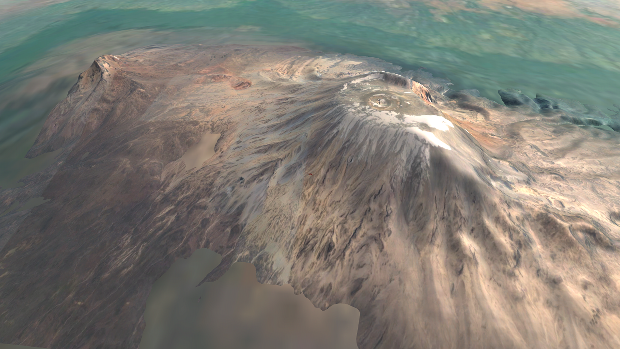
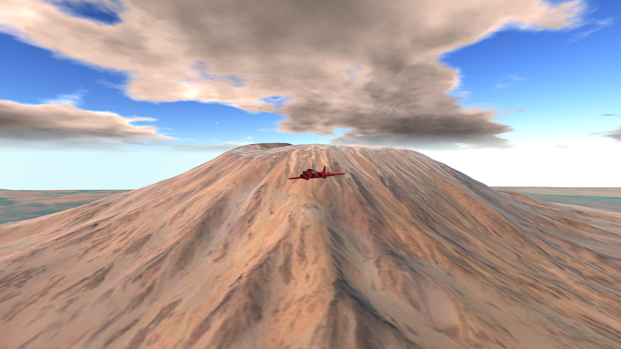
The result of a new Block 2 GIS workflow. 1:1 like Block 1 GIS exports, but this time much bigger, by using 2 different overlapping mesh terrains: 1 "detailed" with sub 8, and small mesh for the volcano itself to get better textures and height data, and 1 "big" mesh with sub 6, that spans the rest of the 50 miles. It's good for focusing on 1 main IRL terrain feature, but not much else.
Notes
- No altitude lowering like Banff or Everest, so the peak of the mountain is the exact same (almost) as real life altitude wise, and probably pressure wise too.
- Don't crash too fast or you'll warp through the terrain, and be mindful of gaps from the "detailed" to "big" mesh (that issue is on the bucket list).
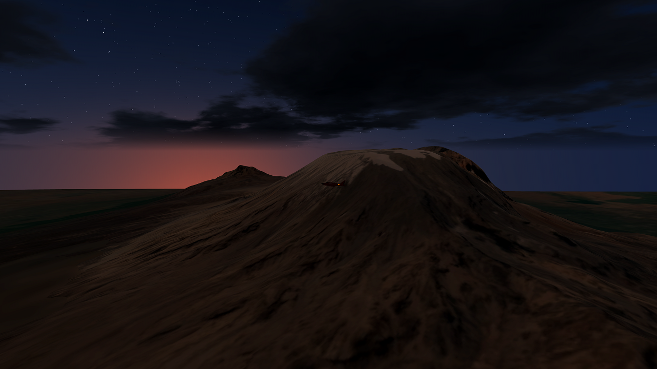
- 1 air spawn point. You mountaineers can parachute yourselves anywhere you wish and create a location there. Textures should look OK at most game times.
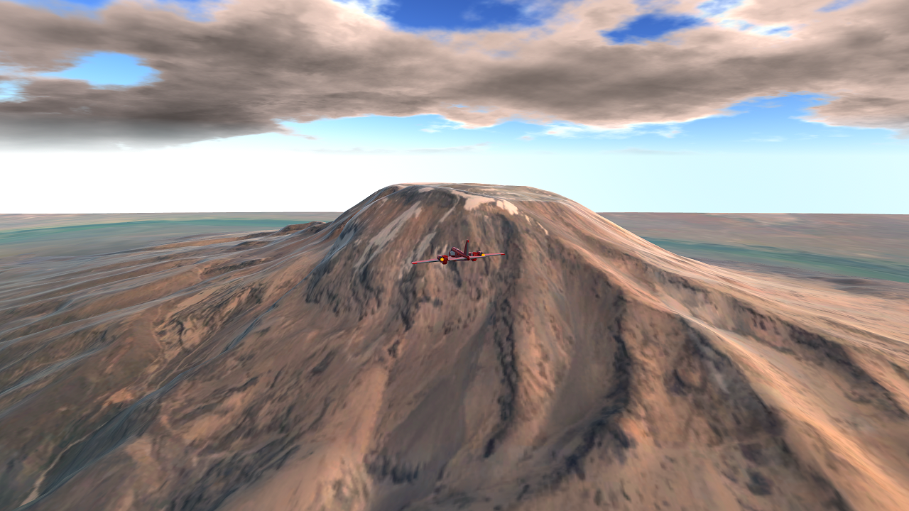
- Air pressure is a lot less at the top. Don't expect your VTOL to work the same as on Wright Airport where you tested it.
- If you're not mountaineering, the best place to take pictures is about 30k' ASL, and in the location facing both peaks as shown in the 1st picture/thumbnail.
- Source code available on Discord Request, as well as any map/GIS help
I take GIS suggestions, just tag me somewhere.
Changelog
- 1.0: Added Block 2 GIS of Kilimanjaro
- MAYBE FUTURE: A script that uses the ServiceProvider explosion to spawn an "eruption" when you touch the caldera. Wouldn't make mountaineers happy though. Maybe I could try ModSettings to toggle that, who knows.
No android!
@232287168147825 Summited Kilimanjaro! 19,341 ft, It is 1:1
blueApple123
Nice work btw, looks great!
@jamesPLANESii Sure; no XP11 guaranteed, but adding airstrips would be a good touch
With Idaho, the area shoud show most of the main part of Big Creek, age get Middle Fork Salmon River down to Camas Creek, and get the mountains on either side of the area.
It’s quite a large area, but it’s probably the funnest and most exciting place to fly in all of flight simming. It’d be cool if you could make the map a bit more detailed around the airstrips there too.
@ThatsAHotTopic
1) If you need help downloading/using the GIS pluginm, watch here until the 5 minute mark
2) Import your selected area- smaller = more detail. Add more subdivision modifiers for more detail heightmap wise- to a limit. I prefer to stay below 200k tris. Default GIS export is 6 subdivisions, but for Block 2 I cranked the center detailed terrain to 8 subs
3) Export your terrain as FBX
4) Export your terrain image using the UV editor
5) Make your simpleplanes map, import your FBX and texture terrain image into Assets
6) Add your terrain, don't touch it and it'll be scale 1:1
7) Drag your UV image over the terrain mesh
8) Add collider, map start(s), etc.
9) Done
@jamesPLANESii
1) That looks like a really good place to try! On the bucket list now
2) Can give me a more specific "focus point" for that area? (the focused area will be much more detailed that the surroundings)
@232287168147825 can you tell me how do you import blender stuff into SP map making stuff
Do you reckon you could do Milford Sound NZ and the USFS area of Idaho?
@ThatsAHotTopic
Here you go!