
Now Updated!
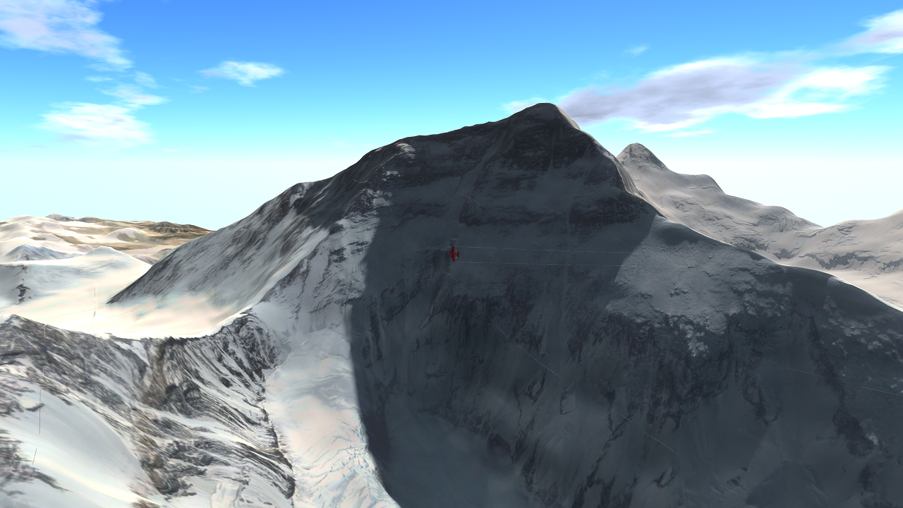
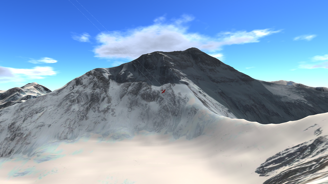
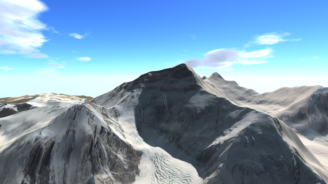
This is a 1:1 map of Everest and the surrounding terrain. It has been recently overhauled to Block III GIS and now features 9x better texture detail. You can climb the mountain, explore, or take scenic photos! Unlike the legacy version, this uses an apparent texture size of about 10000x10000 px thanks to the multi-terrain tiling used with Block III GIS.
- There is an aerial start on the Chinese side
- There is an aerial start on the Nepal side
Notes
- LandStart does not work well. Please make your own start location if you want to start on land.
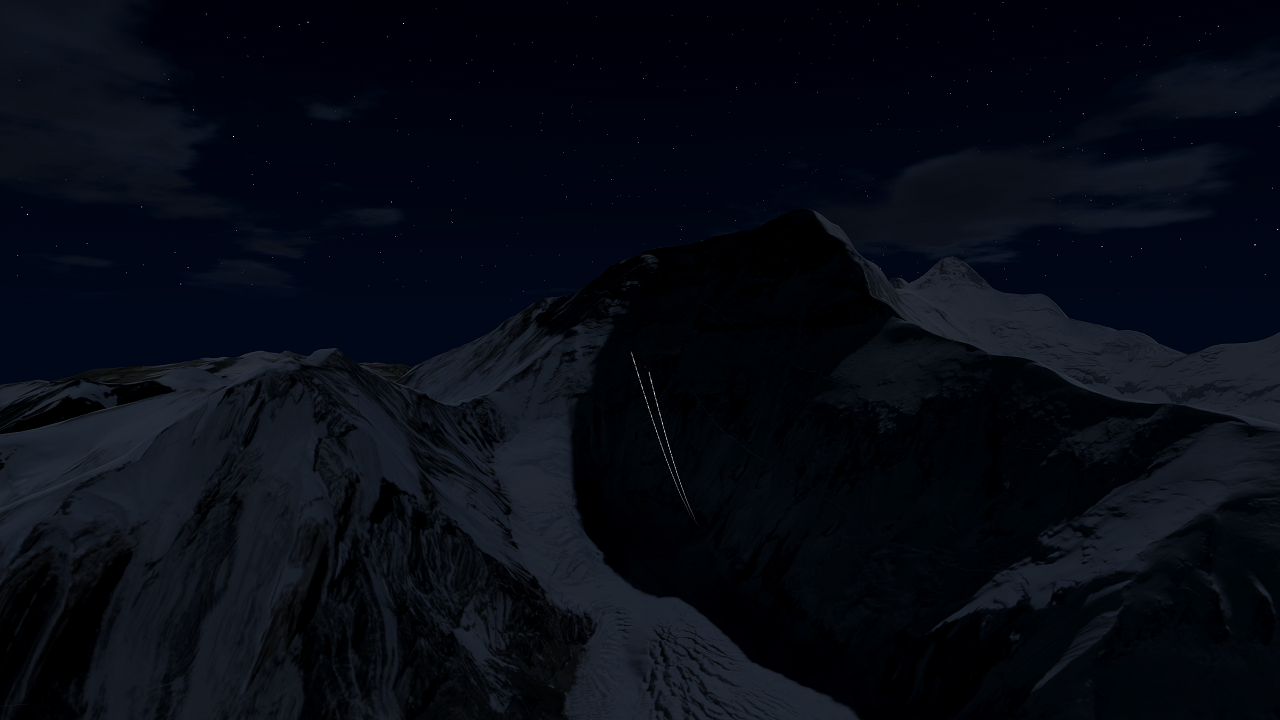
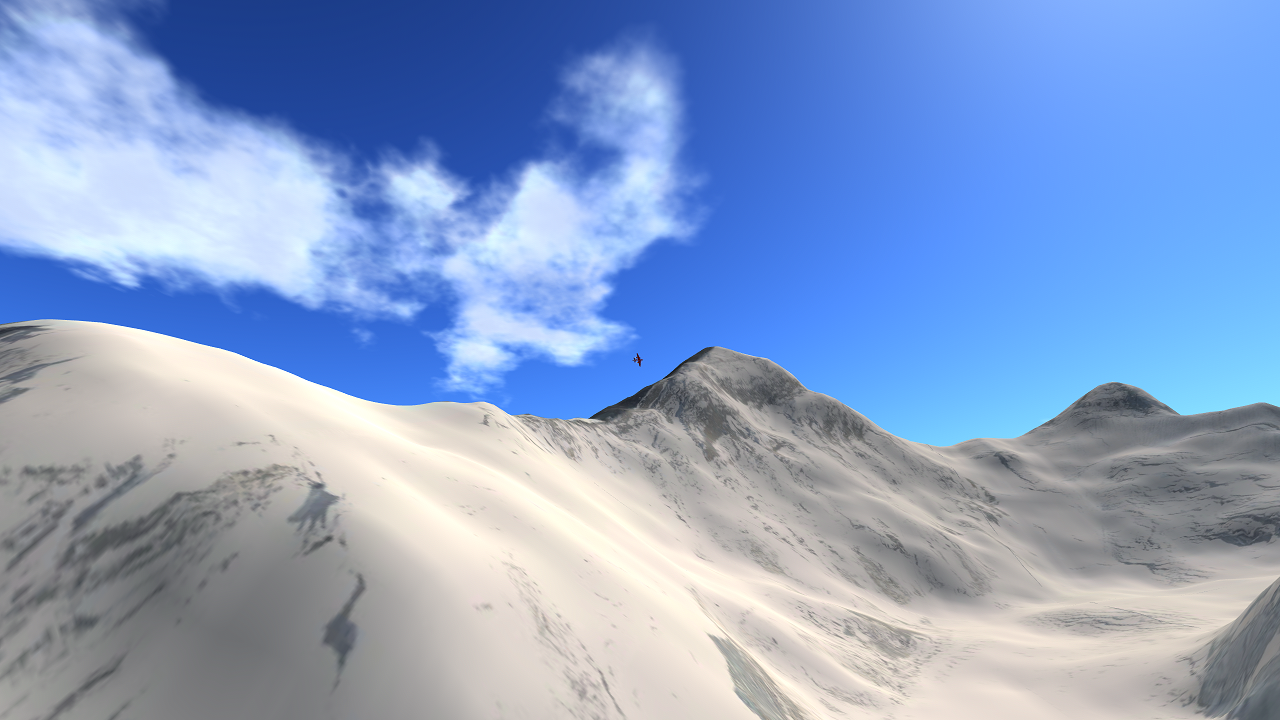
- Best time of viewing is around noon or Nightime.
- Yes, the peak really is 29k feet up
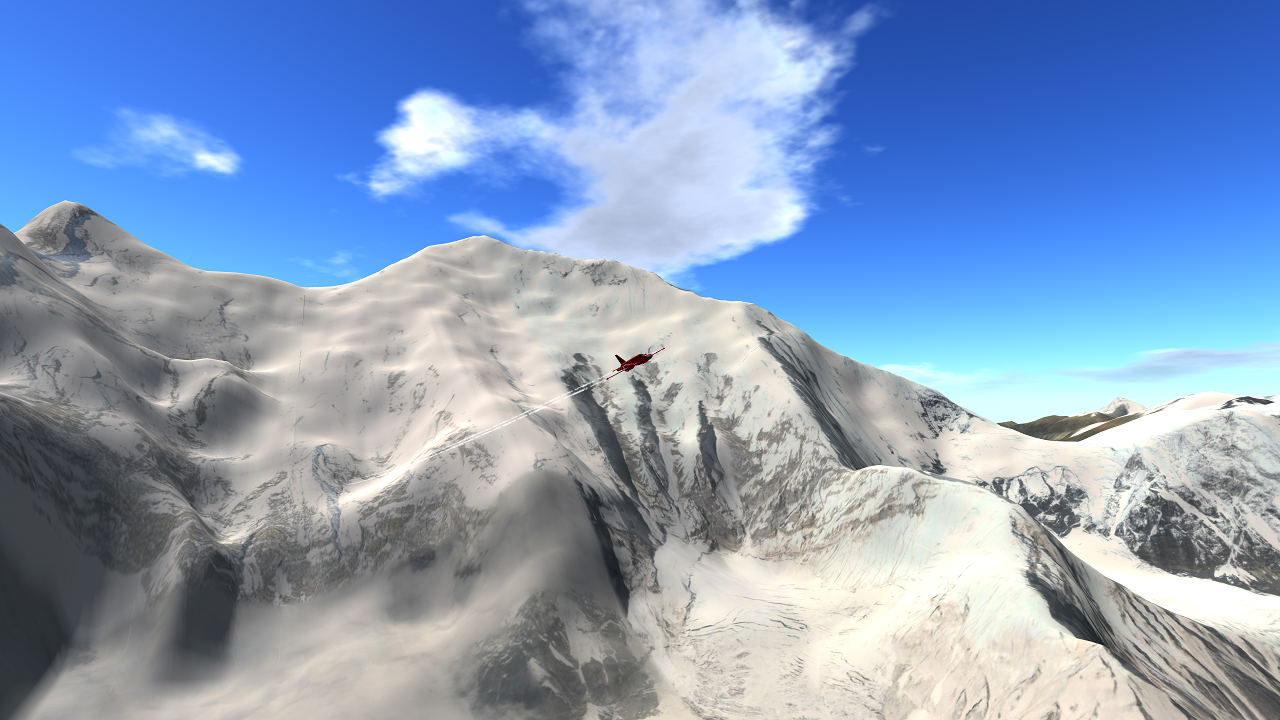
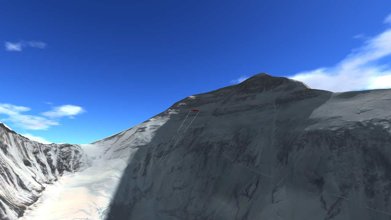
- Little Bugger can climb in 10 minutes
- It is built of 15 different detail tiles, surrounded by 1 low-detail background terrain
- Aerial landing is very hard due to the low air density
- Can't get rid of the "blue"
- If you have any GIS suggestions, for now put them in the comments. I will make a dedicated forum post later.
- Re-Entry Effects is used in some of the pictures, go check it out!
- Source code available on Discord Request, as well as any map/GIS help
- Fun fact: Measured base-top, Denali is taller than Everest
Changelog
1.0 - Added Mt. Everest, Block I GIS
1.1 - Complete overhaul with Block III GIS, now 9x the textures and 10x height data
If you want to get notified when my mods upload, please follow. Thanks!
Android is here, thank you to Inviticus for testing!
This sounds hardware intensive.
Comment on peut télécharger pour qu'il y a la map sur le jeu
Link?
@232287168147825 Where's the link then?
Tell me.
ive done it, ive summited the block 3 verison, finally
wonder when block 4 is coming
is there any lukla in this map or Basecamp 1 helipad
@232287168147825 Just wondering. Is the Hillary Step on this map? I doubt it is though cause this map would be from google earth 2015.
@ThatsAHotTopic fair
@Zoowarp Yeah, he was wearing leather and not white clothing. His body was just sunbleached
@ThatsAHotTopic really? (dont look if squeamish)
@Zoowarp Yes, i know that. Its believed that the rope Mallory and Irvine were on snapped, and Mallory's ice ax struck him in the head, Also he wasn't wearing white, his body was heavily sun bleached after 70 years
@ThatsAHotTopic they have... found mallory, quite a long time ago. I believe he was at the base of a steep slope, but he was wearing white so it would be hard to pick him out
Yus, big mountain boi explisve range time lol
Also how the hecc did I forget to upvote. Smh
@Spikerya Ok. Finally. Android is here, it works, and it's here to stay
@Spikerya Kind of. It doesn't work yet but I'm working on it
@232287168147825 yey
@232287168147825 Yeah, likely that Mallory was either buried in the snow or is hidden somewhere in a rocky place, making it near impossible to find him
@ThatsAHotTopic I've done some looking, and think it's probably some rocks
@Plane66373637 He uses google maps for this, explains why you can see some watermarks on the mountain in some places
@Plane66373637 No.
What unity texture package thingy do you use
Found the 3 circles nearby where i landed my helicopter, seems to be the area on the the map, just lower than the 1st step, it may be some rocks like i said, but its close to the approx location of him
@ThatsAHotTopic If he's on the satellite, he's on the map
You might want to check with Google Earth