
As the title suggests, IFR approaches are possible in SP using funky tree stuff I don’t understand that I got from this build from vcharng
And with that map design it allowed for me to overlay a lateral path with waypoints to fly to do a IFR approach
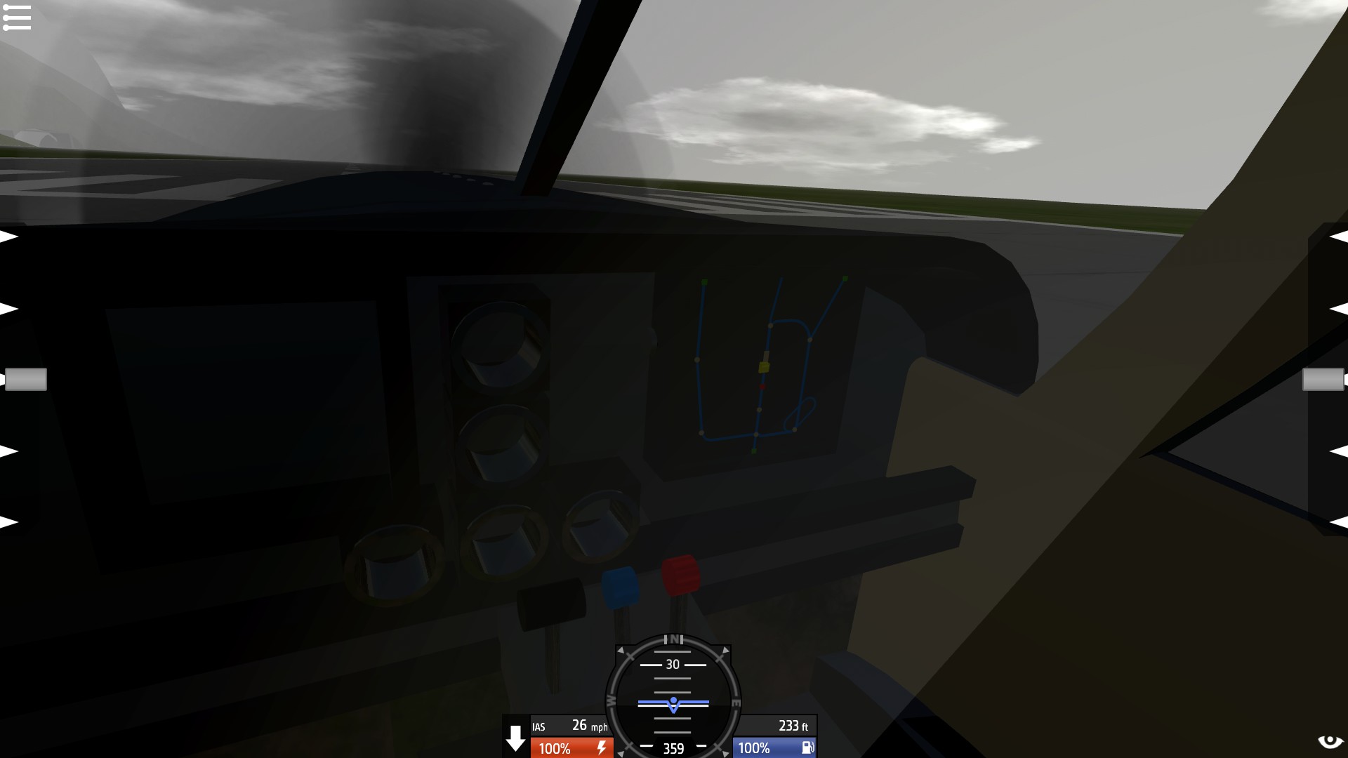
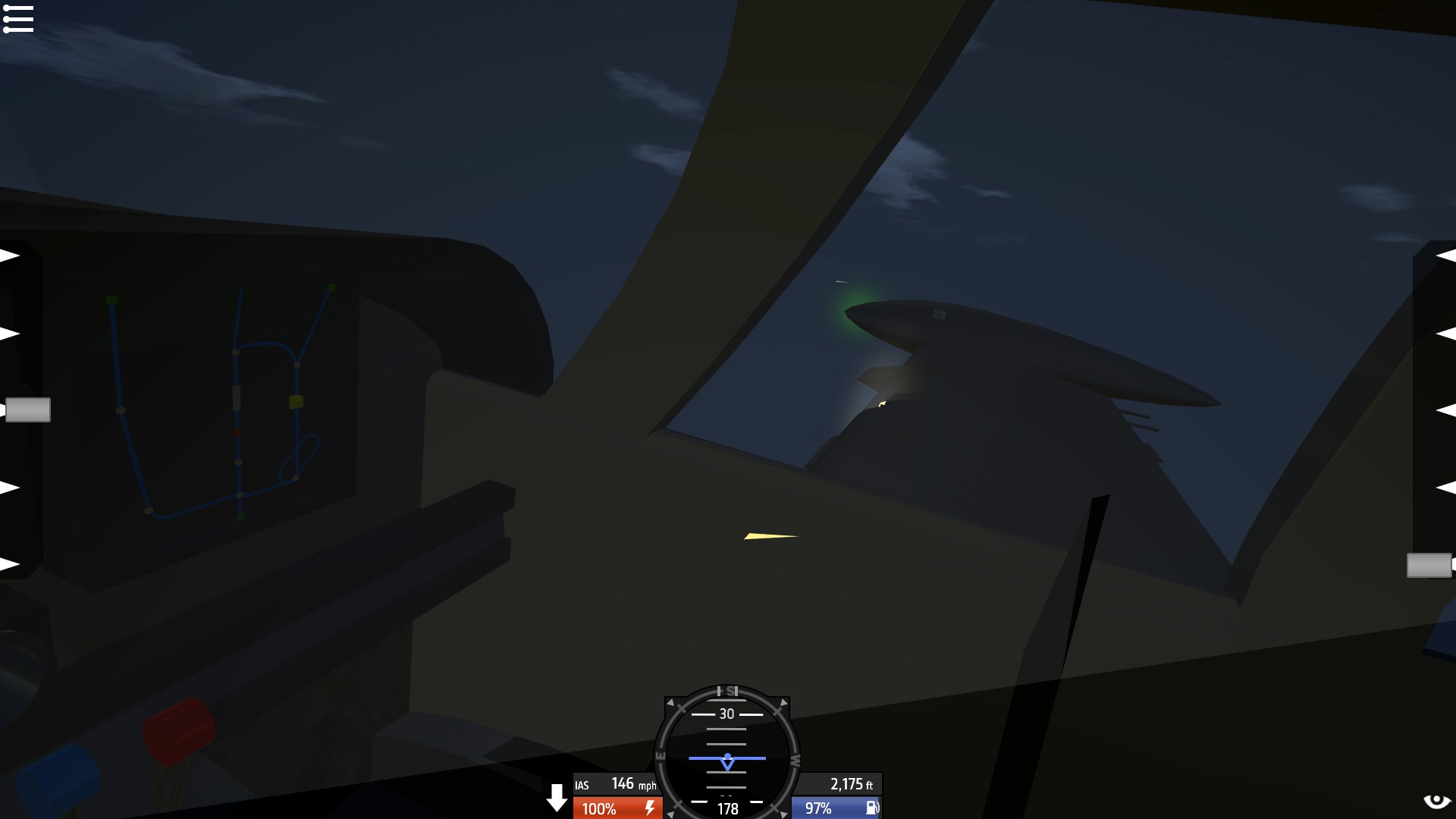
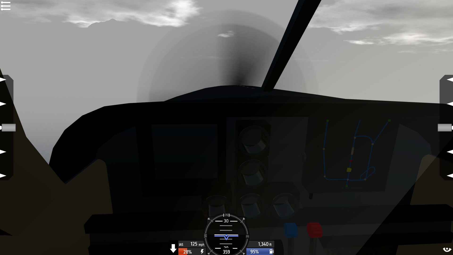
Here are some pictures of it, (I flew the approach in heavy fog , then paused the game to take the screen shots at key points with the clear sky added right after to see better where the plane is in relation to the airport)
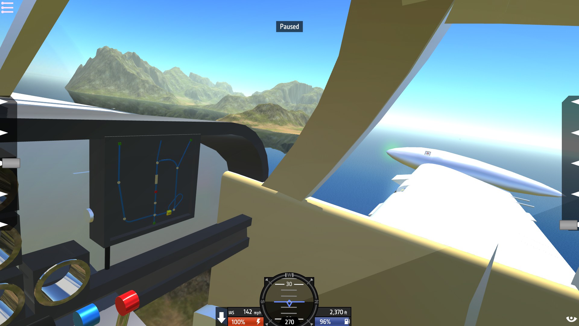
Take off:
(The approach with moving map is on the right screen, still a WIP cockpit and I apologize for the terrible lightning, tried to put beacons in spots to light it up the best I could)
Downwind:
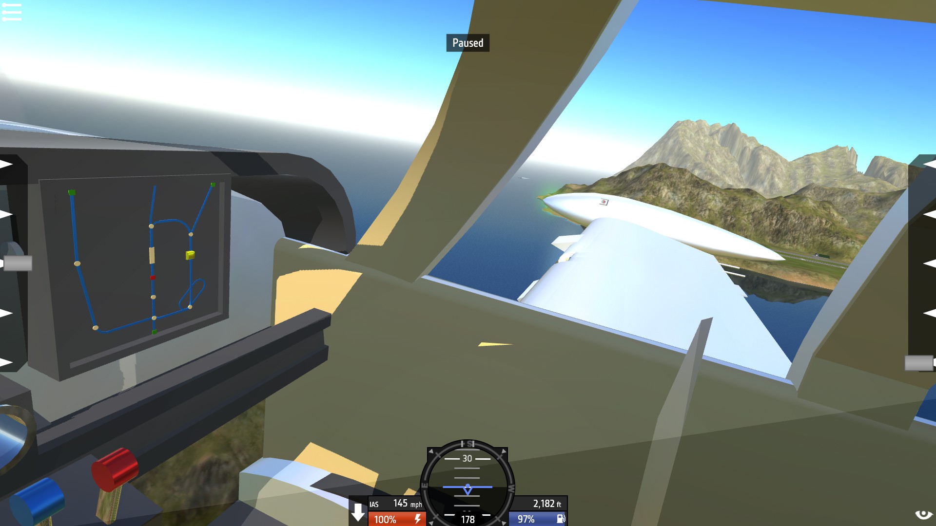
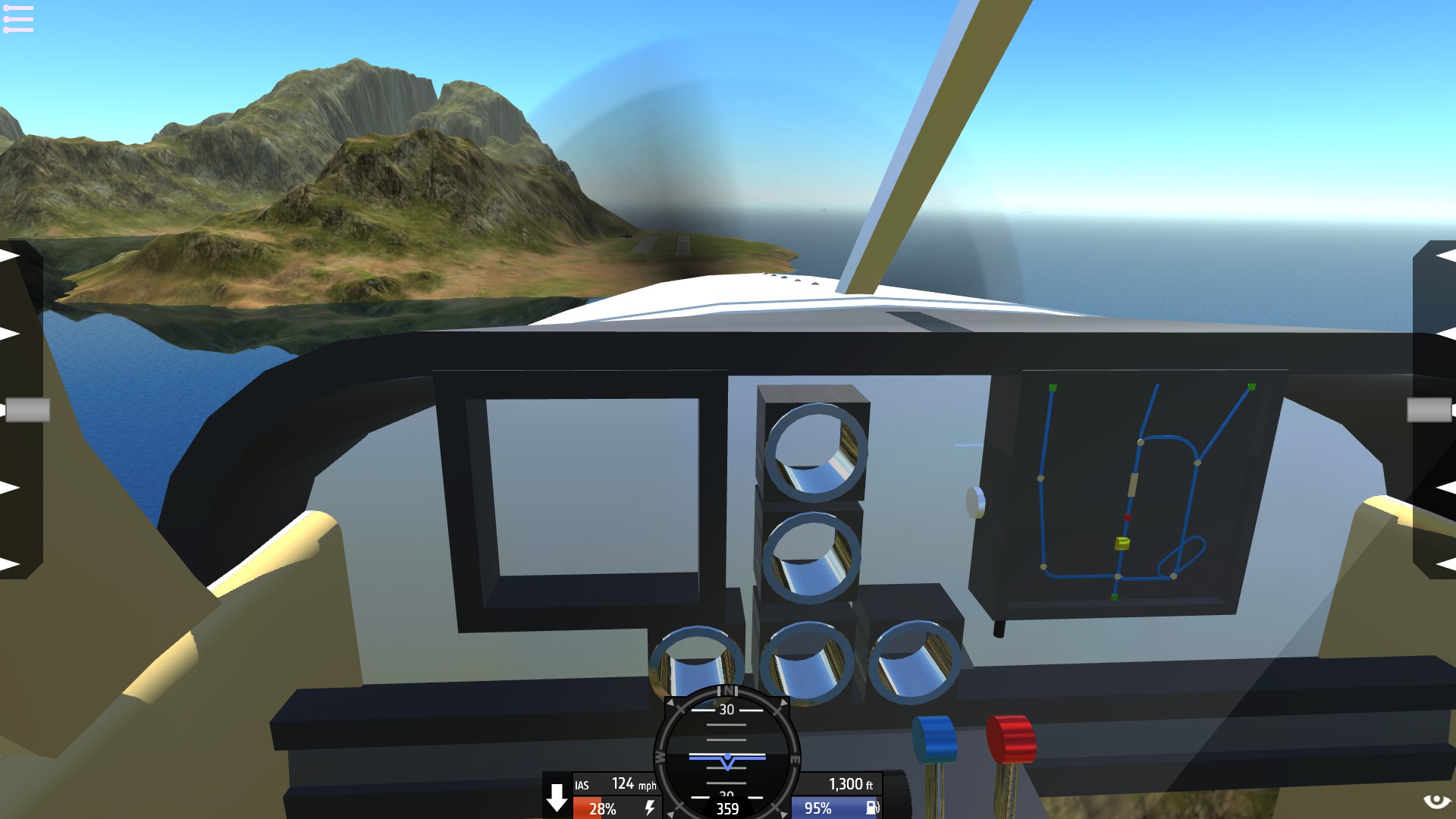
Base:
(Again all flown in heavy fog and only cleared up just for screen shots to show accuracy)
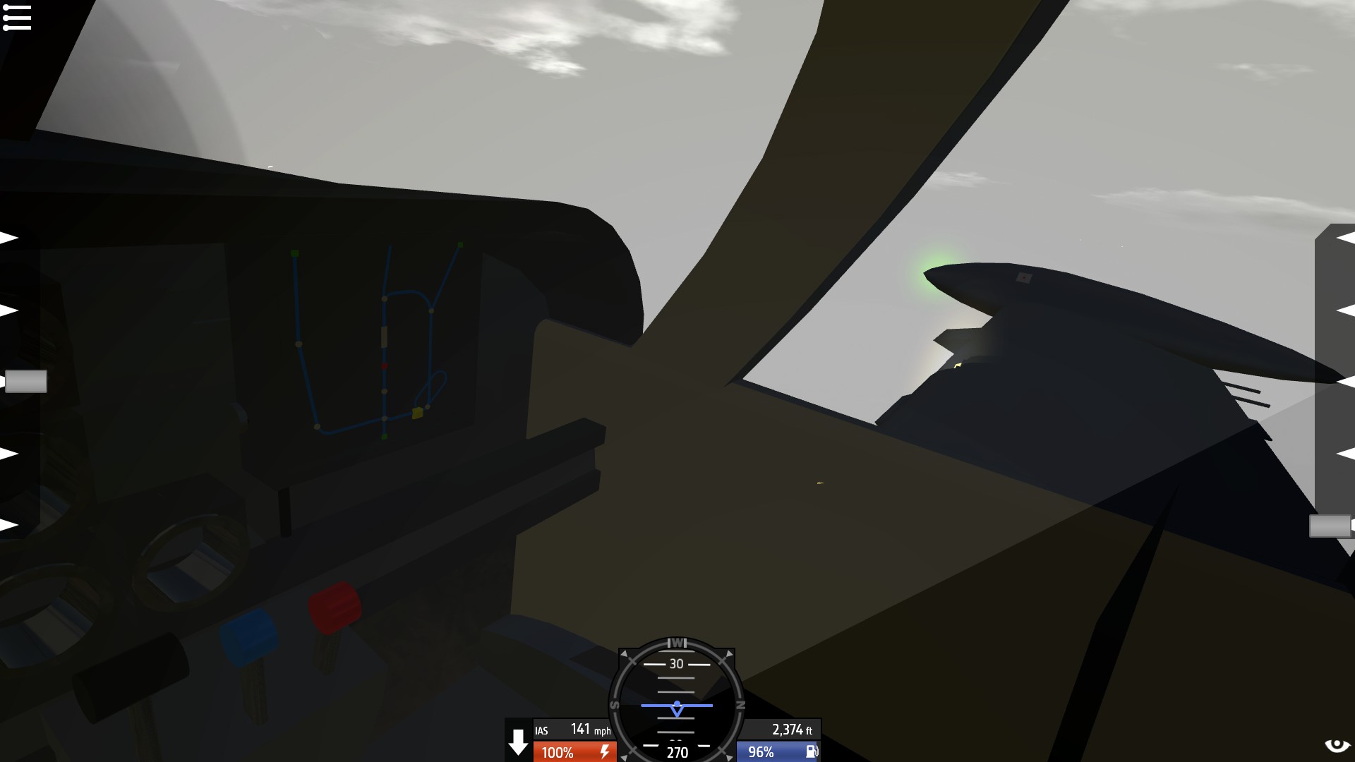
Final:
The blue line is the path(s) to to beginning of the approach, the yellow square is the plane, the dots are way points, the squares are the initial approach fixes and or final approach fixes and finally the rectangle in the middle would be the runway
Still very much a WIP, tons of stuff to work out and no vertical guidance yet so just lateral guidance for now
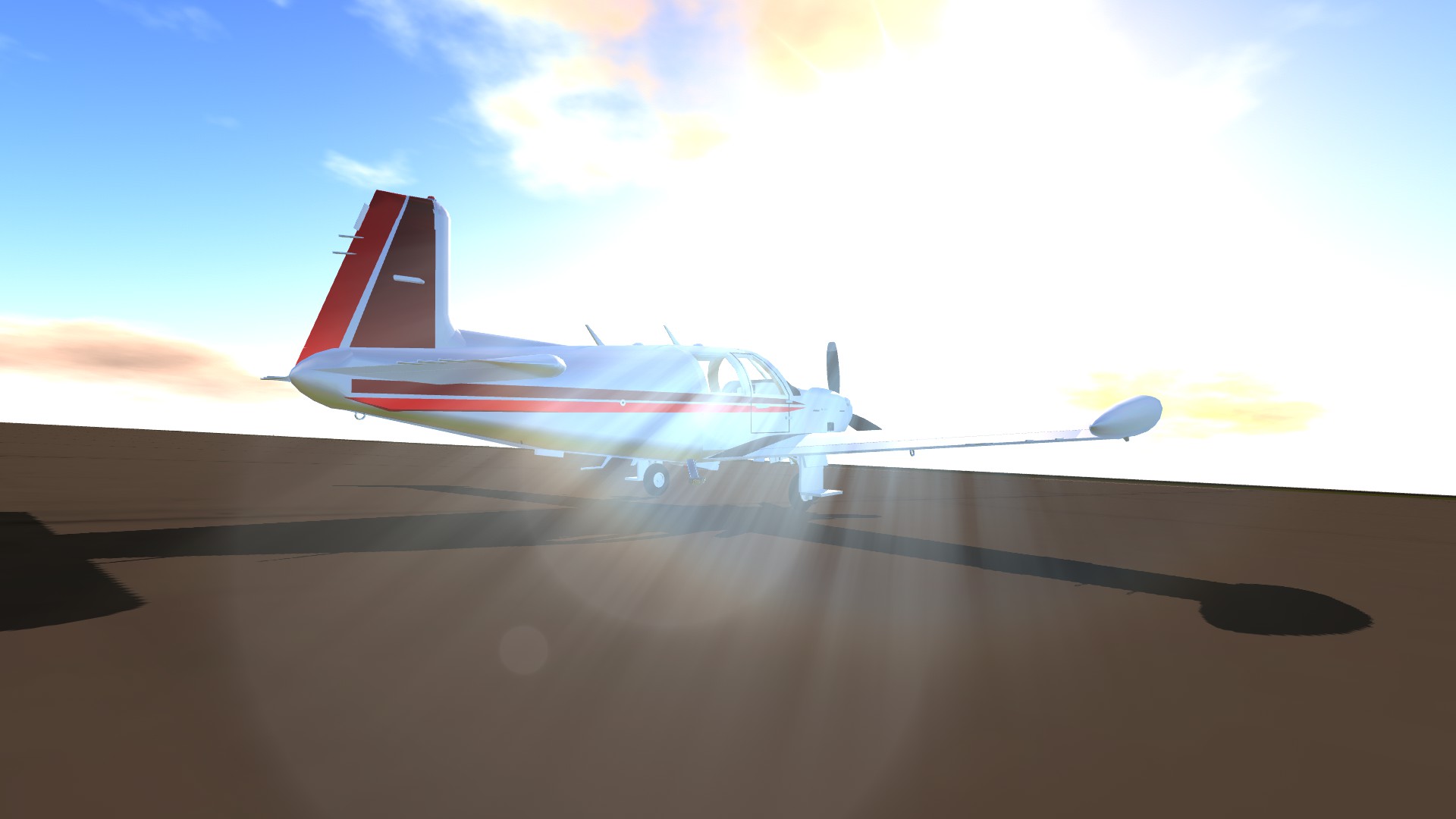
Tests were done on the Model 212/Barracuda 300 that I showed a bit of the other day
Things needing fixed
Map scaling
Better colors for the chart
Lights to show the approach when it’s dark
Possibly see if there is a way to get vertical guidance (idk how funky trees works so I’ll have to ask around for pistons or rotors for that)
Label the points
And finally to make a separate chart depicting the approach with altitudes and other things to follow
@vcharng I was able to get that approach idea to work, that absolutely brilliant system for the moving map thing, it’s wonderful and works flawlessly! Thanks!
I managed to land without looking at the in game altimeter and instead used my radio altimeter and it was a very easy landing as I knew exactly when I would touch down as I programmed it to read from AGL. I also might try putting this system in the cockpit pit so I can land without ever looking out of the cockpit of the plane. @MrSilverWolf
Has the SP community become big brained?
mind explodes
@asteroidbook345 that makes two of us, I haven’t even looked up the cockpit to one yet lol
@asteroidbook345 this is still pretty new to me as well lol, still things needing worked out before I can post a full version that is tuned and is in a format that makes sense
@Nerfenthusiast well in GA aircraft like above actually most planes in general and approaches will have a minimum visibility rule so probably won’t be doing that for a full non visibility landing as that isn’t normally done though that’s a great idea
Pairing this with a light based radio altimeter that tells you when you are at 100, 50, 40, 30, 20, and 10 feet AGL could make it very easy to land when you have no visibility. I have a plane that I added them to and the values are 30.48, 15.24, 12.192, 9.144, 6.096, and 3.048. @MrSilverWolf
Ahh, i suggest a 45° immediate traffic join i see...
I don’t understand hOW IS THIS POSSIBLE?!
@asteroidbook345 well yes but actually no, who needs approaches at other airports other than Wright? Ppffttss that’s just silly
I actually have a plan to have two different approaches, the one above for wright and then one for yeager with one set behind the other that would be on a piston that would shove out past the one for wright, so essentially swapping it for the yeager one
@SnoWFLakE0s yeah idk how to put that into a input to make it actually work, the most I’ve done with funky trees was make a windshield wiper lol
@MrSilverWolf
.
The method is simply an integral of the XYZ components of the velocity. It's not too complicated.
I could definitely make a better map for it, just with the rest of the build and the way it works in the GA airplanes IRL, I’m going to keep it on the simple side for lower part count
@SnoWFLakE0s the way that system works that I got from Vcharng is it bases everything off of where you spawned, and that’s all I know about how it works so idk how I’d get the vertical guidance out of that
I'm thinking this could be further developed with a topographical map to create a minimap-esque design, with customizable spawn points. Vertical guidance is definitely possible, in fact, I'm fairly sure you could create a 3D map... Though making the map model is more effort than the funky trees.
Thanks! @BogdanX @RussianAS
I’m gonna do a bush 180 after I’m finished this one; maybe I’ll give it a glass panel and add this :D
@jamesPLANESii thanks!
Thanks! @RailfanEthan
Thanks! @Noname918181 @Random40
@Armyguy1534
Your welcome! Nice design! @MrSilverWolf
@Randomdoggo @Strikefighter04 @TJAirDesign thanks!