Unlisted
No Tags
Auto Credit Based on WIZARD2017's La-Longitude Indicator
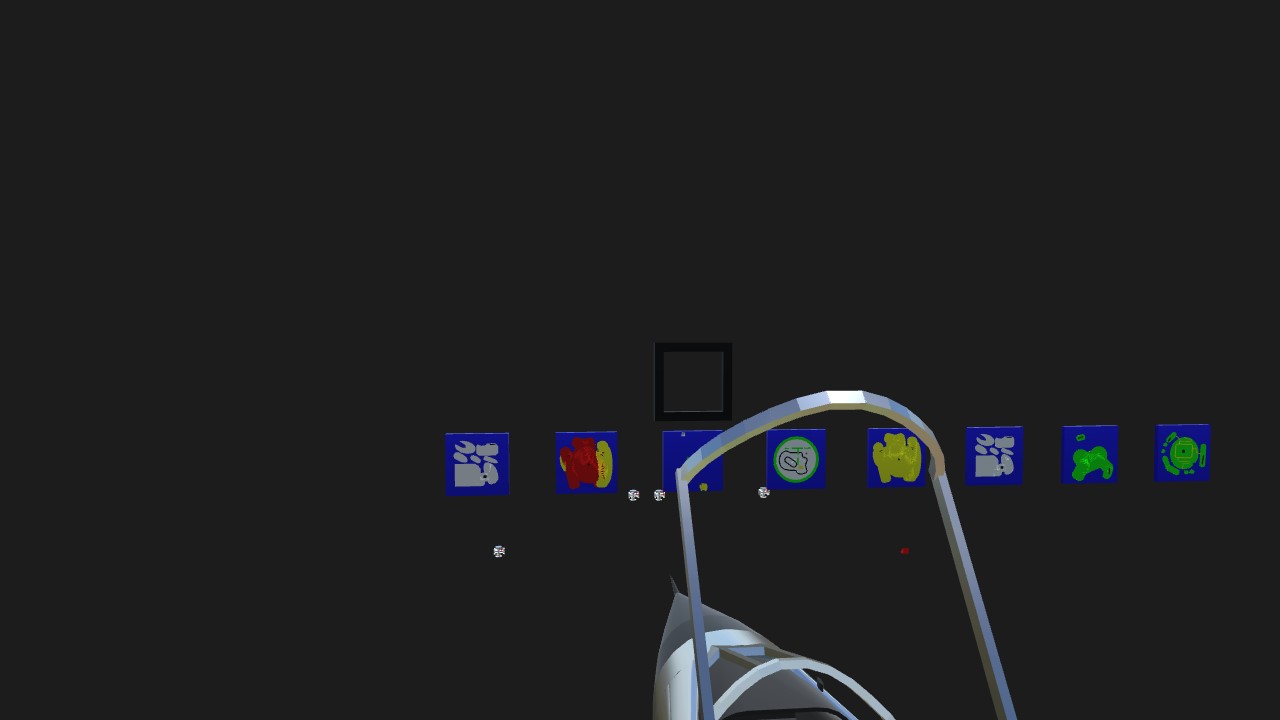
The zoom map to the left of the main map (red Maywar) is going to be Kaper Island.
The zoom map (Snowstone) to the far left of the main map (and the plane indicator below it) is going to be Simple International Airport. I haven't connected it yet. I can't get the Kaper Airport map and plane to activate at all, let alone within the borders of the map.
Specifications
General Characteristics
- Predecessor La-Longitude Indicator
- Created On Windows
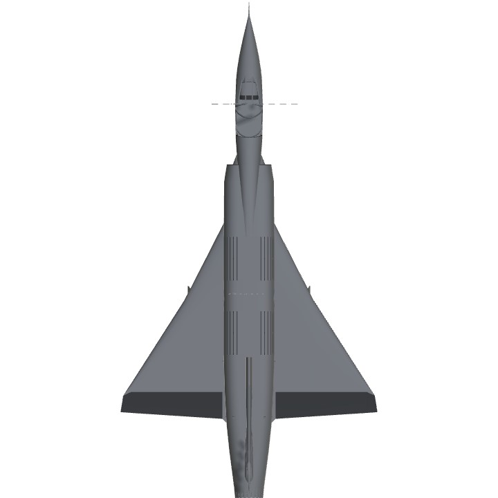
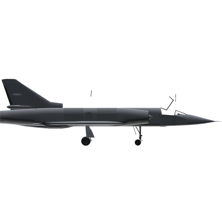
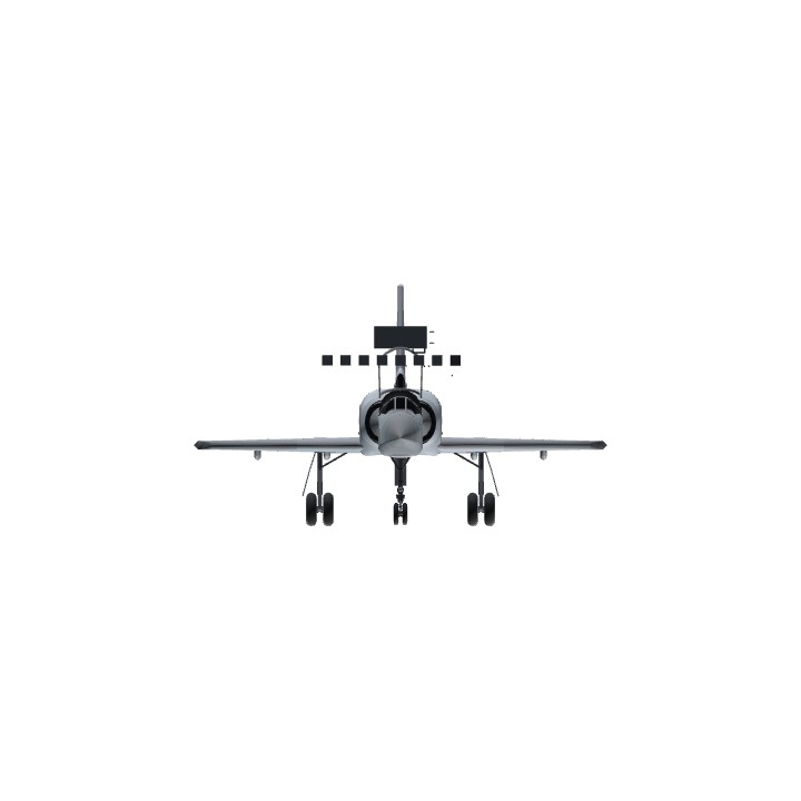
- Wingspan 31.3ft (9.5m)
- Length 58.8ft (17.9m)
- Height 18.7ft (5.7m)
- Empty Weight N/A
- Loaded Weight 26,490lbs (12,016kg)
Performance
- Power/Weight Ratio 44.537
- Wing Loading 23.7lbs/ft2 (115.7kg/m2)
- Wing Area 1,117.4ft2 (103.8m2)
- Drag Points 10158
Parts
- Number of Parts 955
- Control Surfaces 5
- Performance Cost 4,377