


< Minimum 4 GB required >
< Android Version unavailable >

Description
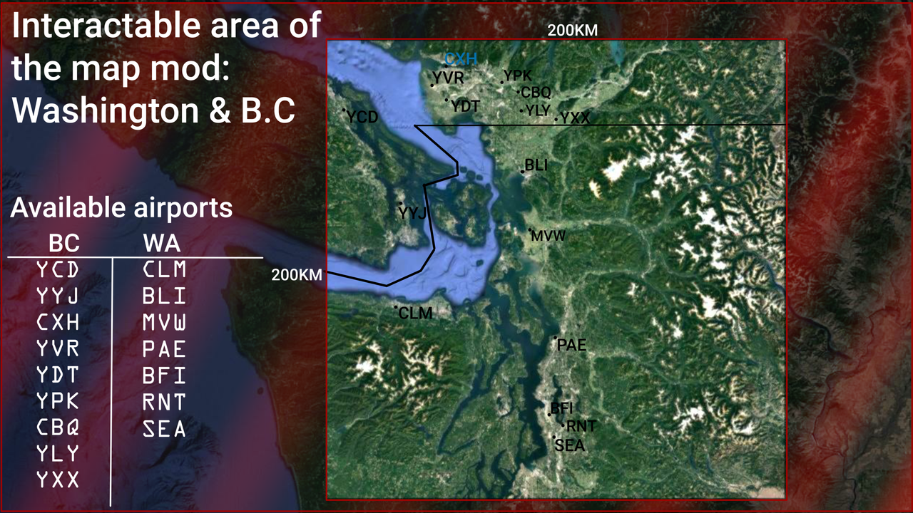
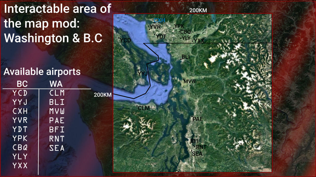
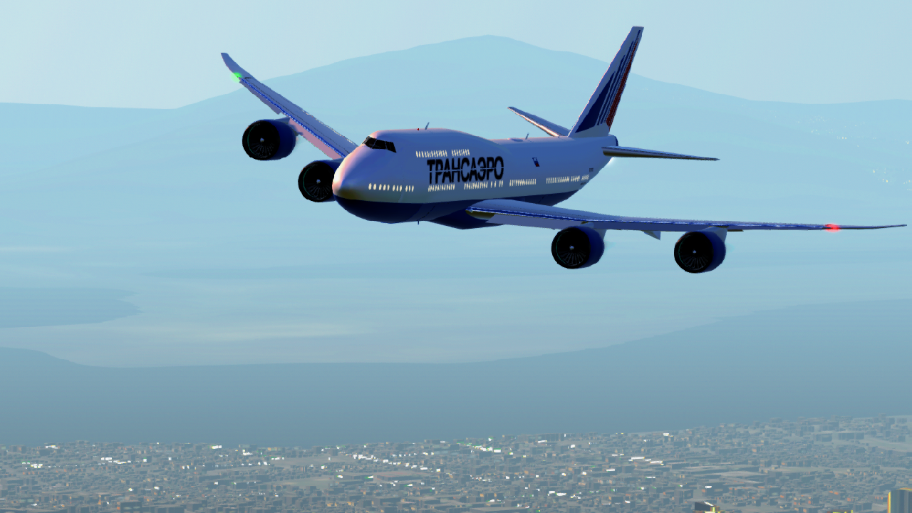
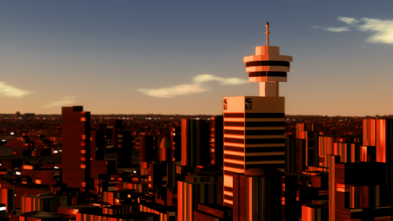
The WA & British Columbia map is based on the Pacific Northwest region of both Canada and the United States. The map itself is very huge, while indeed it is 200x200km, the total terrain area is beyond that as a futureproof attempt if Jundroo ever decided to increase the render distance.
Video
Locations
CXH Vancouver Harbour Flight Centre
1 Water Spawn
YPK Pitt Meadows Regional Airport
3 Runway Spawns
CBQ Fort Langley Recreational Airport
2 Runway Spawns
YVR Vancouver International Airport
3 Runway Spawns
1 Terminal Spawn
1 Approach spawn
1 Flyover SpawnYCD Nanaimo International Airport
2 Runway Spawn
1 Terminal SpawnYLY Langley International Airport
2 Runway Spawn
1 Terminal SpawnYXX Abbotsford International Airport
3 Runway Spawn
1 Terminal SpawnYDT Boundary Bay Regional Airport
2 Runway Spawn
1 Helipad SpawnYYJ Victoria International Airport
3 Runway Spawns
1 Terminal SpawnBLI Bellingham International Airport
2 Runway Spawns
1 Terminal SpawnCLM William R. Fairchild International Airport
3 Runway Spawn
1 Terminal SpawnMVW Skagit Regional Airport
2 Runway Spawns
PAE Paine Field International Airport
2 Runway Spawns
1 Terminal Spawn
1 Hangar Spawn
1 Approach SpawnBFI King County International Airport
2 Runway Spawns
1 Hangar Spawn
1 Approach SpawnRNT Renton International Airport
2 Runway Spawn
1 Hangar Spawn
2 Approach Spawns
1 Flyover SpawnSEA Seattle Tacoma International Airport
3 Runway Spawns
1 Terminal Spawn
1 Hangar Spawn
1 Approach Spawn
1 Flyover Spawn
Features
60 Spawn Points
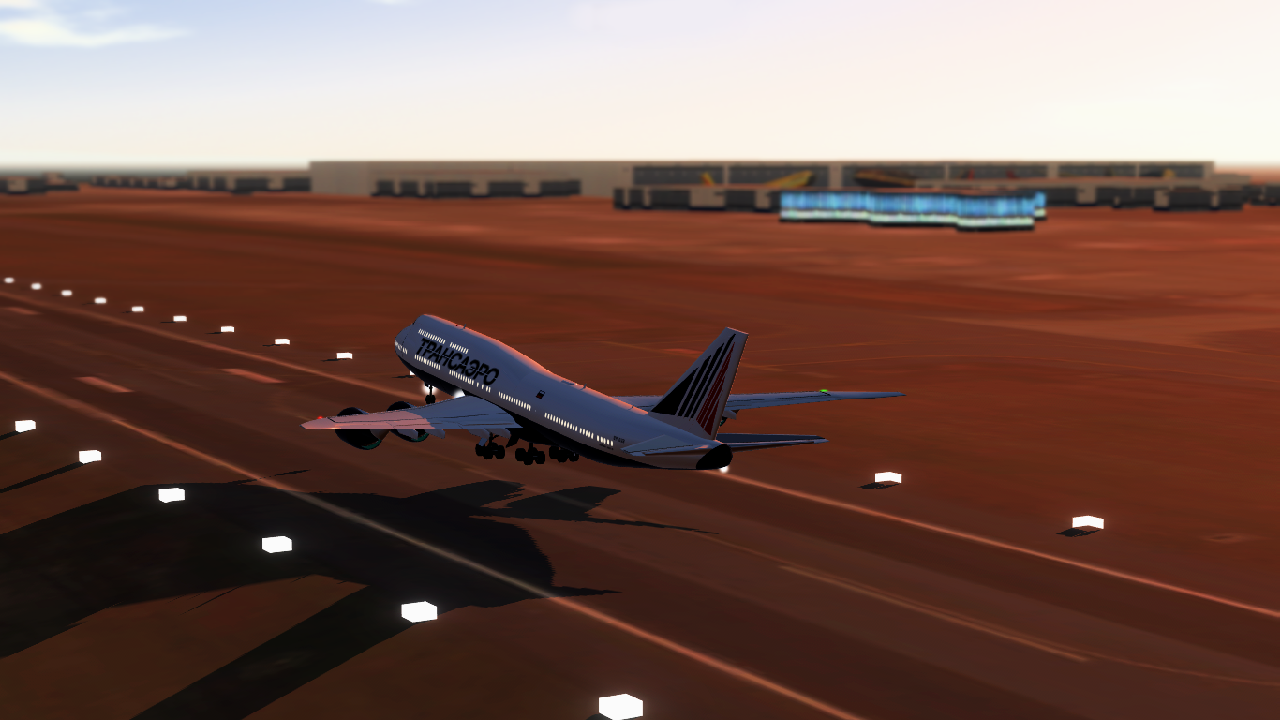
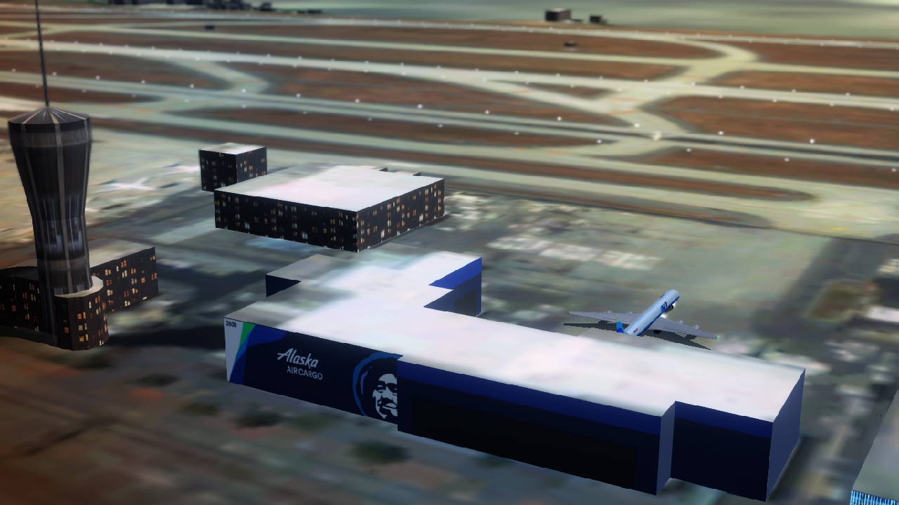
16 Airports & Seaports
200x200km flyable area
3D buildings
4K airport terrain
SD scenery
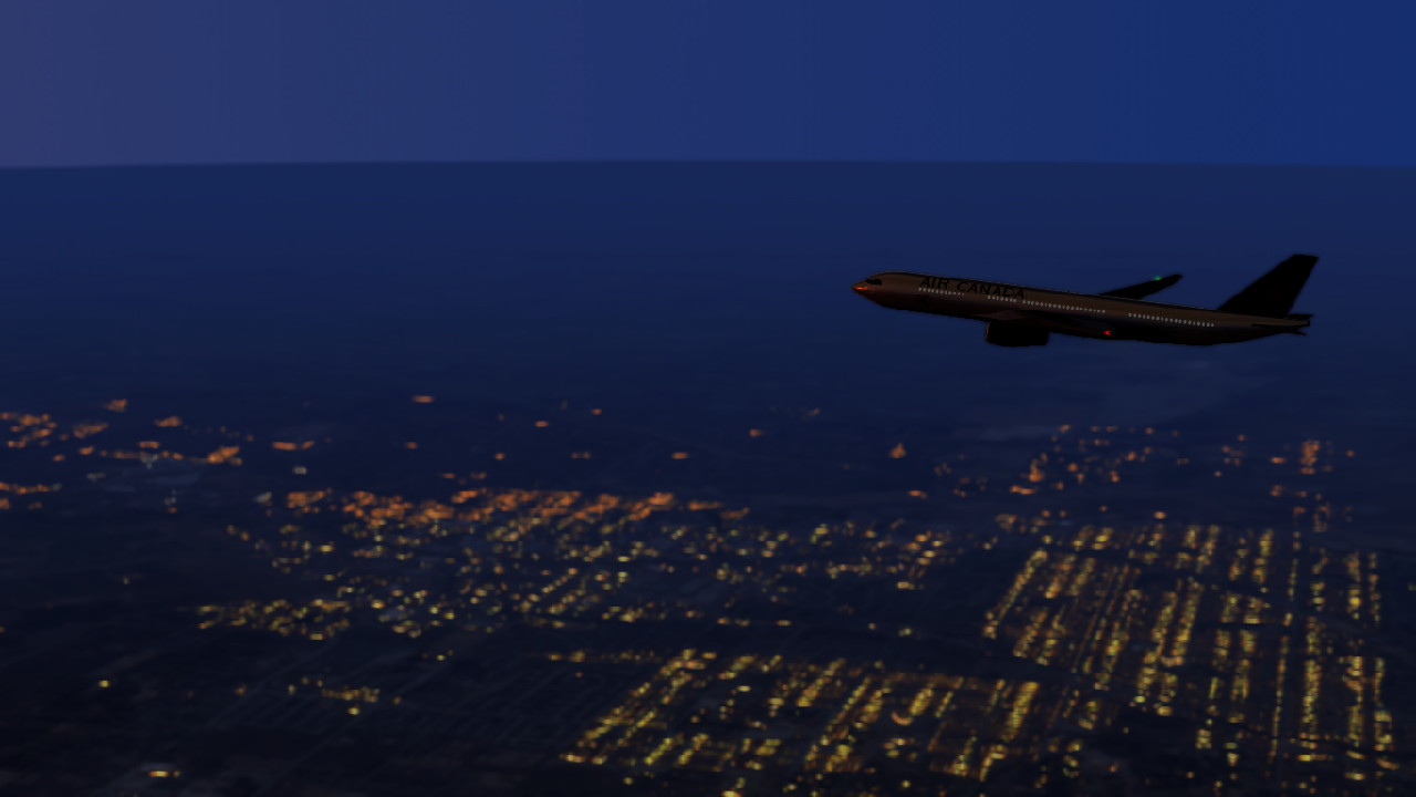
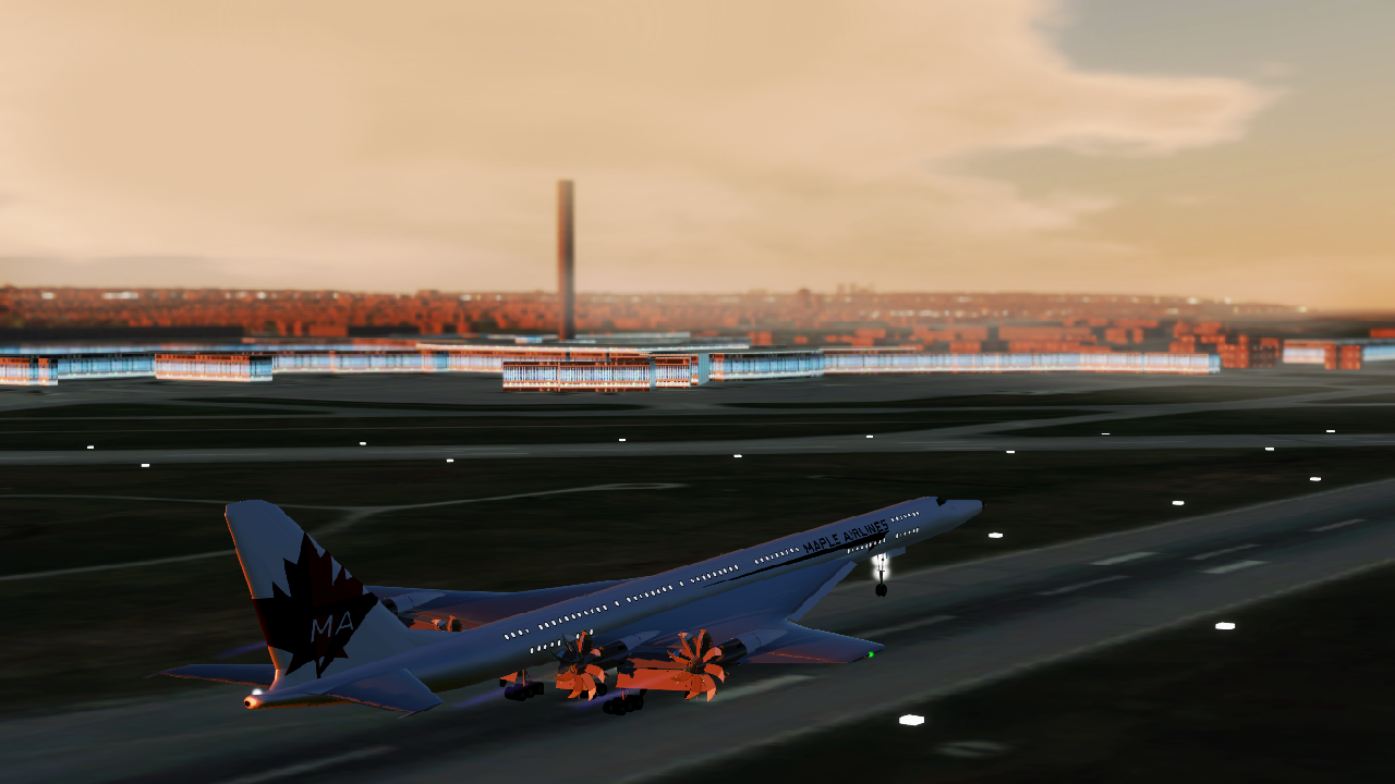
Illumination
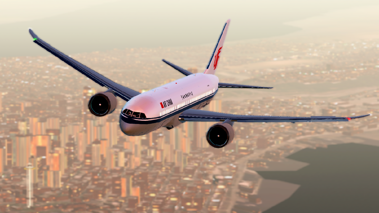
Dense urban area
Inspirations
- Pacific Northwest Area
- Grey's Anatomy
- Boeing
Notes
verson F15L2-1
Added terminal spawns to
YXX, YYJ, YCD, BLI, YLY
Added approach spawn toRNT
Added extra runway spawns toYVR, CLM, YXXversion F15L3-2
Added mountains
Replaced unsightly texturesversion F16L3-3
Added
CXHVancouver Harbour Flight Centre seaport
Added water spawn toCXH
Added Flyover spawns toYVR, SEA, RNT
Added Terminal spawn toCLMRelease F16L4-4
Minor tweaks
Finalized mod description
Enabled fog
This comment has no further use except make that comment button work from up high. Also as an update board.
Back to Top
@realSavageMan fr
Not sure if you are still around, but letting you know that your map terrain is disabled; it only appears, but when you spawn, you fall to the true ground.
I'm curious how accurate the terrain is?
You should make andrews air force base.
@BlackGearCompany do it at your own risk
Is it fine to run it on potato pc?
Build new York or Shanghai
@Annedzsrue The mod is broken. It clips through the ground. Can you fix it?
@TrickyMister77 you probably have to downgrade your SP version back to 1.12.128; that's what I've been doing so far
@TrickyMister77 Yeah, this mod is broken. You just clip through the floor.
@Annedzsrue I am having an issue where I am falling through the ground on your map. I cannot land as I keep clipping through the ground. Pls fix, or tell me if I did something wrong and I need to fix it
Create NYC for simpleplanes
This is amazing, more detail than most other games. now I just need a more powerful pc
help why its japanese how i make it english
Haha! I could do some low altitude fly-by
真可惜,安卓端下不了(悲)
wow
@Annedzsrue Hello, I'm very like your map and I want to ask a question. We are making an airport plug-in mod, but we have encountered a problem at present. Some aircraft tires will fall into the ground and strange friction, the angle of view can penetrate the ground, and the altitude AgI display is inaccurate. Do you know how to solve it? thank you
I need Android′smod
3 gb for a map😭
why is Mt.Baker a green spike in the terrain
Gonna have to try this out! Grew in the PNW!
@realSavageMan sad
Just personally visited the pacific nw... and then realized what a great and accurate map this is. Well except maybe remake the space needle?